OUR DRONES
FLY FOR YOU!
OUR DRONES FLY FOR YOU
As an end-to-end provider of drone services, we see it as our duty not only to work with the best possible equipment on the market, but also to deliver the best results for our customers. We see this as our mission!
DRONES AS A SERVICE
DAAS
We offer professional drone services with different drone types and payloads. Receive the highest quality data through our flights for your exclusive use and to solve your problem.
HUBS AS A SERVICE
HUAS
Using drones at the touch of a button has never been so safe and efficient. Using fully automated docking stations, commonly referred to as “drone in a box”, we use drones safely for you to carry out inspections
INSPECTION AS A SERVICE
IAAS
We are also happy to evaluate and analyze your data for you. Whether it is recorded by our drones or generated by us, our specialists will create reports for you and take care of the post-processing of the data.
WE DELIVER OUR
DRONE SERVICES
IN ANOTHER LEAGUE
drone


drone
CERTIFIED
Our organization is certified as a drone operator according to the International Standard of the Flight Safety Foundation (BARS RPAS) and is subject to ongoing quality and compliance audits.
UAS
BVLOS
We fly our drones outside the visual range of the remote pilot. This allows us to cover large areas and long distances using BVLOS (Beyond Visual Line of Sight) - i.e. without direct visibility to the UAS.
drone
APPROVED
Our drones hold all the legally required operating permits to fly quickly and without long bureaucratic lead times throughout Europe (EASA). They can be used anywhere in a compliant and efficient manner.
UAS
AUTOMATED
We do not control our drones by hand. Our flying robots carry out their missions automatically and follow the terrain, waypoints and the asset precisely and repeatedly for the best results.
ORDER PLACEMENT
THE FASTEST WAY TO FLIGHT
What should we deliver?
Flying drones is cool! But drones that fly to solve a problem and generate real added value is mega cool! Together we discuss the implementation of the task and define the drone, payload, flight path and operational procedures.
Put your trust in us!
After the target discussion has been concluded positively, the general conditions are recorded and we start planning immediately. For most scenarios, we already have approvals in our pocket and can get started straight away. For new or particularly demanding flights, an intermediate step with the responsible authorities may be necessary.
We get the job done!
As soon as all approvals have been clarified, we will immediately begin implementation.
Best quality included!
After the flight has been successfully completed, the customer receives his data. Either as raw material or processed and analyzed by our experts. If required, a report is also prepared according to the agreed parameters.
OPERATING MODELS
WET LEASE
The all-inclusive, worry-free package for our customers and partners. We provide pilots, drones and permits.
DRY LEASE
Our customers and partners provide the crews. We have the drones and the permits.
PERMIT LEASE
You provide the drones and crews. We take care of the legal approvals and secure integration of your operation into our organization.
DRONES
AS A SERVICE
A revolutionary concept for versatile applications
Drones as a Service (DaaS) is a groundbreaking concept in which drones and their comprehensive services are provided as a complete package.
Advantages of DaaS for companies
Thanks to DaaS, companies can use drones without investing in expensive hardware or training. Our drone experts handle all aspects of operations, from planning, approving and executing flights to data analysis and reporting.
OUR KING'S DISCIPLINE
With our flight services we specialize primarily in flights beyond the visual line of sight of the remote pilot (BVLOS).
Linear flights over long distances and in difficult terrain are our specialty.
POWER LINES
RAILWAY LINES
PIPELINES
CABLE CARS
PAYLOADS
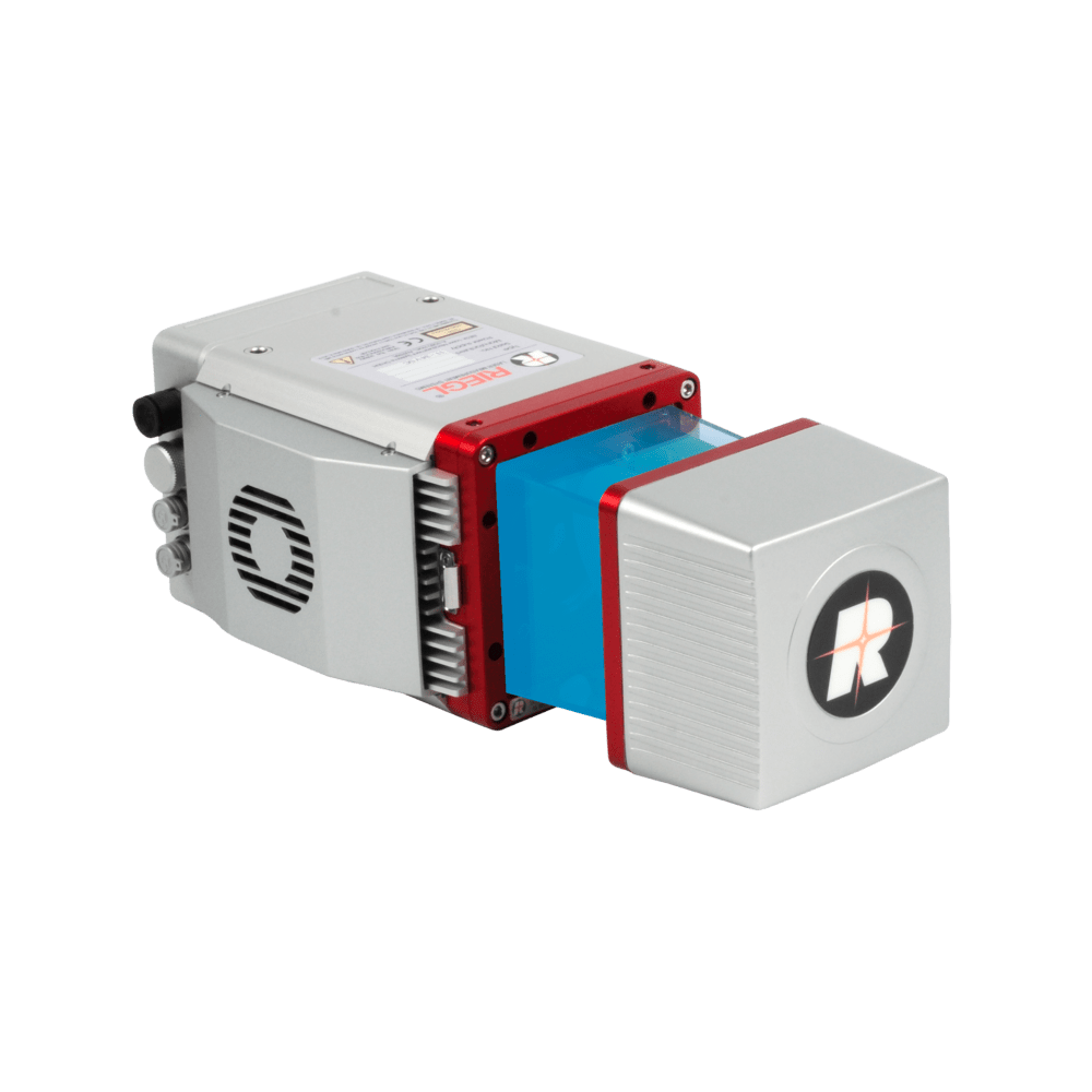
Point clouds with the highest accuracy!
LiDAR sensors capture the smallest details with the highest accuracy in real time. The sensors can be used in many scenarios and can therefore cover a wide spectrum. Non-repeating scanning patterns capture every detail precisely. The LiDAR systems are particularly suitable for areas such as power lines and forests and form the basis for real-time measurements and mapping with drones.
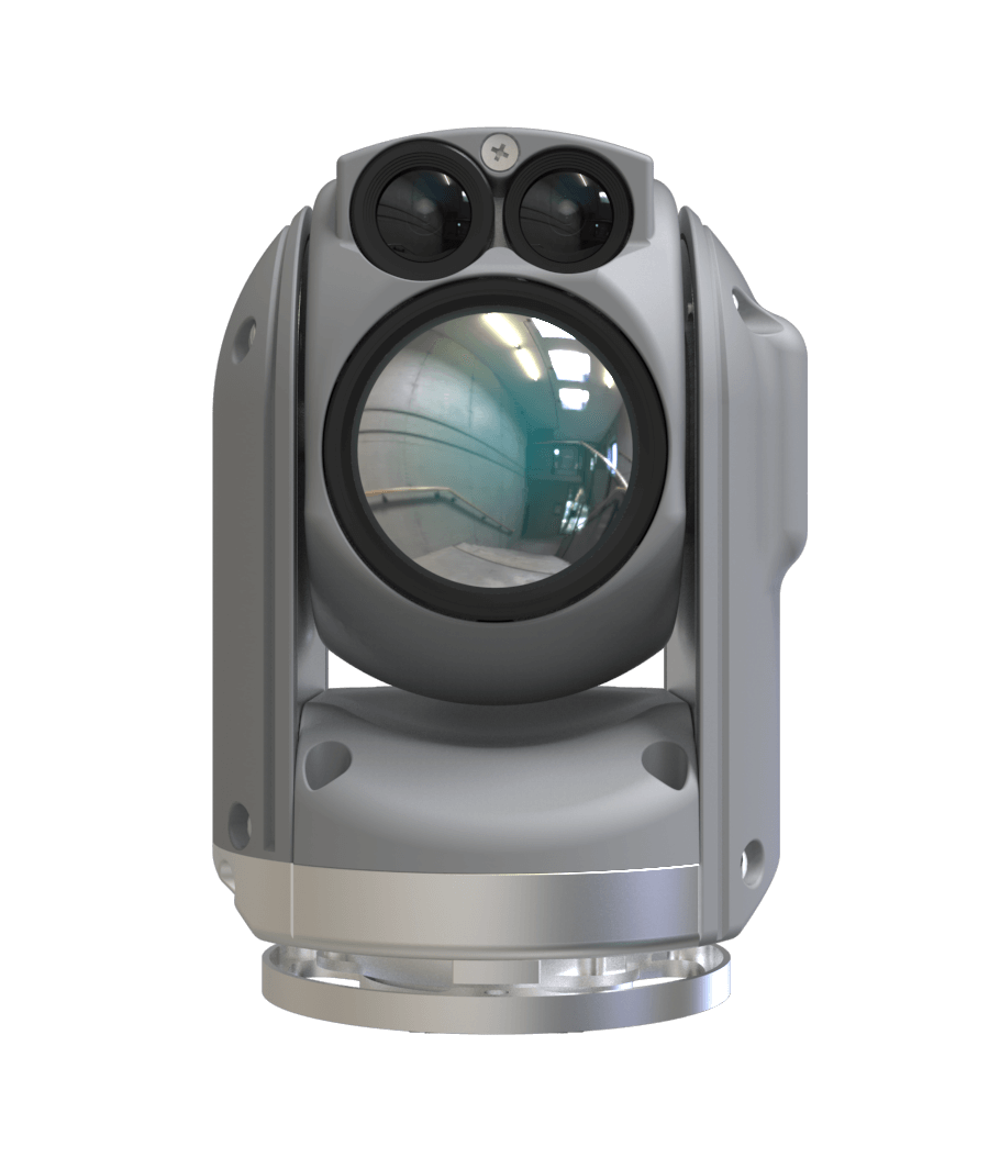
Live videos day and night!
With our high-quality video gimbals, we provide live data for customers day and night. Using either EO or IR sensors, even the smallest damage can be identified over long distances. Thanks to the compact design and vibration-neutral suspension, videos are razor-sharp and do not shake.
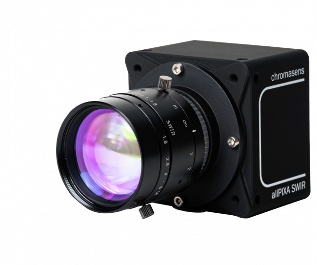
Pictures in proven quality!
With our RGB cameras we deliver razor-sharp images for our customers. Georeferenced, overlapping and high-resolution, they form the basis for orthophotos and other photogrammetry operations. We deliver our data in RAW format and in full data size.
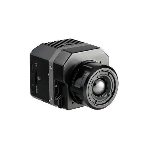
On the trail of warmth!
Our thermal imaging cameras provide information about temperature levels and differences. This makes it easy to locate people, animals and other warm objects. Critical components can be checked for thermal stress or changes.
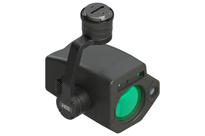
No gas leak remains hidden!
Laser waves are used to identify gas particles such as methane and, after appropriate processing, are digitally displayed on maps. Threshold values that are below the requirements of the new EU methane regulation can be reliably detected from the air using drones.
DRONE HUB
AS A SERVICE
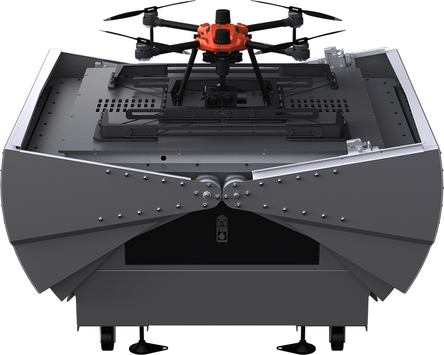
We use drones safely in remote unmanned facilities using fully automated docking stations.
The use of highly automated drones without on-site personnel has never been safer and more efficient. With the help of fully automated docking stations, commonly referred to as “drone in a box”, we can safely use drones to conduct inspections.
LIFT PAYLOADS
LIDAR
PHOTO
VIDEO
UAS
